Reconnecting the Present to the Past:
The Caddo People Return to the
Lower Red River Valley
Caddo Connections to the Lower Mississippi Valley
In October 2006, the Louisiana Regional Folklife Program and Williamson Museum, in consultation with the Caddo Nation Cultural Preservation Office, received funding from the Lower Mississippi Delta Region Initiative of the National Park Service to accompany the Caddo Repatriation Committee to visit Caddo and associated mound sites in the lower Red River valley and lower Mississippi River valley. Repatriation Committee members were able to document and compare mounds, occupation areas, and traditional cultural properties associated with the Caddo and their allies and neighbors.
While viewing this site, please click an image to enlarge.
Coming to these places and bringing our folks down here, it makes me happy to know that they're hapy, to know that…they're reconnecting.
—Bobby Gonzalez

Swan Lake, Bossier Parish: Caddo, ca. 1100-1500 A.D., burial mound within an extended dispersed community.

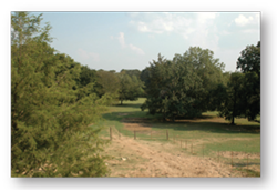
Lock & Dam #4, Red River Parish: Protected area set aside by Corps of Engineers and Red River Waterways Commission overlooking Red River, to be used by Caddo Nation for re-interring Caddo people and their associated funerary objects from nearby locations.

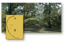
Marksville State Historic Site, Avoyelles Parish: Marksville period, Woodland culture, at least 6 mounds surrounded by a semi-circular embankment, ca. 200 B.C. to 400 A.D.
We've got to keep that image and those conections in the minds of all the children, so they know about these places.
—Robert Cast

Greenhouse, Avoyelles Parish: Troyville period, Woodland culture, 7 mounds surrounding a large plaza, ca. 400-1000 A.D.

Troyville, Catahoula Parish, Troyville period, Woodland culture, 9-13 mounds enclosed by an earth embankment, ca. 500-900 A.D.

Grand Village of the Natchez, Adams Co., Mississippi: main ceremonial center of the Natchez Indians, Caddo allies, ca. 1682-1729.

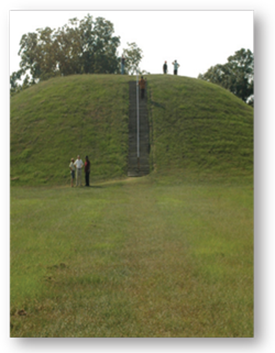
Emerald Mound, Adams Co., Mississippi: one of the largest mounds in America, Mississippian culture, ca. 1250-1600 A.D. Its builders were ancestors of the Natchez Indians.
It gave me a sad feeling to think about all the people who were there. Our feelings are really close.
—Madeline Hamilton
Reconnecting the Past home page->
Sites:
- Swan Lake: Bossier Parish, Louisiana. Access courtesy of Mrs. Mikki Prescott. Information and assistance provided by Jeffrey Girard, Louisiana Regional Archaeology Program, NSU.
- Mounds Plantation: Caddo Parish, Louisiana. Access courtesy of the Volentine Family. Information and assistance provided by Jeffrey Girard, Louisiana Regional Archaeology Program, NSU.
- Lock and Dam #4, Red River Waterway Commission and the U.S. Army Corps of Engineers: Red River Parish, Louisiana.
- Greenhouse Site: Avoyelles Parish, Louisiana. Access courtesy of the Greenhouse Family and Dustin Fuqua, Cane River Creole National Historical Park.
- Marksville State Historic Site: Avoyelles Parish, Louisiana. Information and assistance provided by Dr. Charles “Chip” McGimsey, Louisiana State Archaeologist.
- Troyville Site: Catahoula Parish, Louisiana. Information and assistance provided by Dr. Aubra “Butch” Lee, Earth Search, Inc.
- Grand Village of the Natchez: Adams County, Mississippi. Information and assistance provided by Smokye Joe Frank and Jim Barnett, Mississippi Department of Archives and History.
- Emerald Mound National Historic Landmark: Adams County, Mississippi. Information and assistance provided by Smokye Joe Frank.
Credits:
- Project funded by a grant from the Lower Mississippi Delta Region Initiative of the National Park Service to the Louisiana Regional Folklife Program, NSU, and Williamson Museum, NSU, in consultation with Caddo Nation Cultural Preservation Office.
- Site photographs by Dayna Bowker Lee, Louisiana Regional Folklife Program.
- Exhibit panels and brochure were paid for by a grant from the Lower Mississippi Delta Region Initiative of the National Park Service.
- Watermark image for panels: Nicholas King, 1806, Map of the Red River in Louisiana from the Spanish camp where the exploring party of the U.S. was met by the Spanish troops to where it enters the Mississippi. Maps and cartographic items, Library of Congress: dig. id g3992r ct000689. http://hdl.loc.gov/loc.gmd/g3992r.ct000689